

Will it snow again? Here are the chances as Seattle area has record cold temperatures
Seattle hits record low temperatures
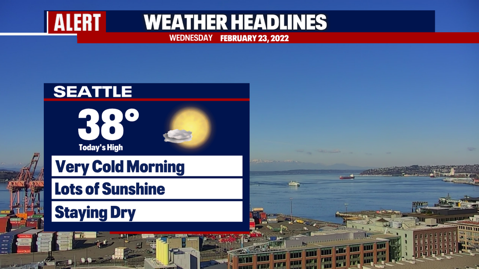
It’s a chilly start to Wednesday morning and Seattle tied a record low.
SEATTLE - It was a frigid Wednesday morning with record cold temperatures in several Western Washington cities.
Seattle hit 23°, breaking the old record of 24° on this day set in 2018. Olympia was even colder with 14°, smashing the old record of 16° set on this day in 2018. The cold record was tied at Quillayute with 24°.
The one saving grace is that the area woke up to beautiful blue skies. Highs in the Seattle area will make it back above freezing, into the upper 30s this afternoon.
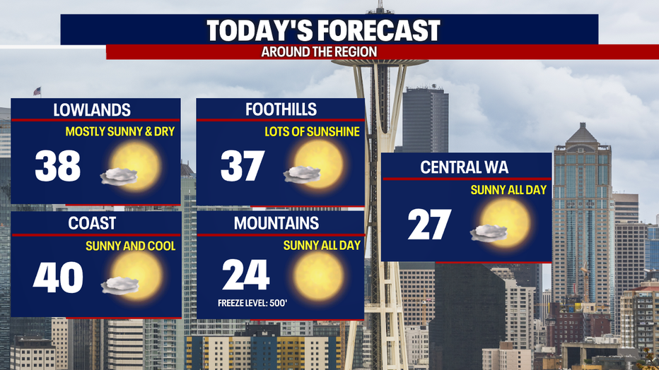
For the rest of our viewing area, expect a beautiful day with lots of sunshine.
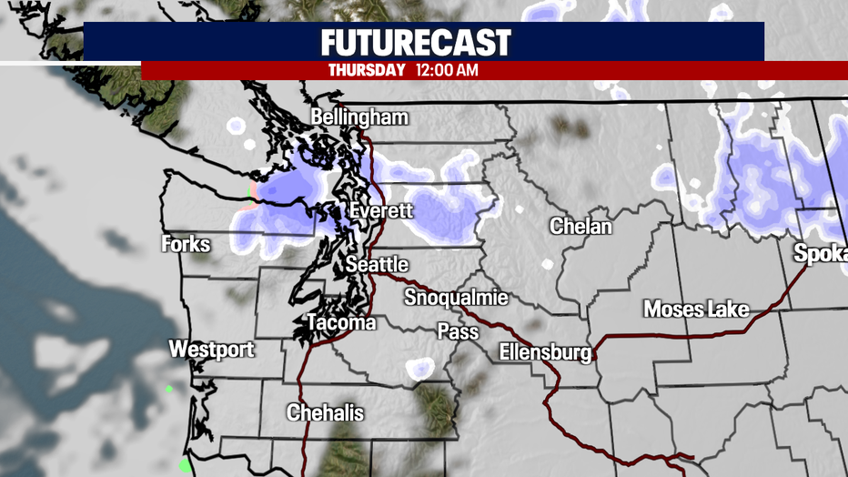
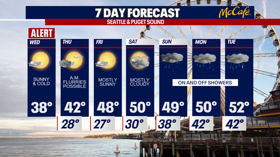
After sunset, the clouds will roll in, and we have a very weak system dropping into the area tonight. Snow flurries or light snow showers are expected after 11:00 PM moving in from north to south. Accumulations will likely be light, but it could create some slick spots for the morning commute Thursday.
Temps are warming up as we hit Friday and through the weekend. The next round of rain arrives on Saturday night and early Sunday morning. Showers are expected through the first few days of March.
MORE FROM FOX 13 WEATHER:
DOWNLOAD: FOX 13 Weather and News Apps
WATCH: Forecast and Radar
READ: Closures and Delays
CHECK: Latest Weather Alerts and Live Traffic Map
INTERACT: Submit your Weather Photo
DAILY BRIEF: Sign Up For Our Newsletter
FOLLOW: Lisa Villegas, Erin Mayovsky, Brian MacMillan, Abby Acone and Scott Sistek