

Weather forecast: Soggy pockets Sunday and Monday for Seattle
Lots of rain coming this week!
FOX 13 Meteorologist Abby Acone is tracking a WET week ahead -- keep that raincoat on, and dare we say, bring an umbrella?
SEATTLE - Though temperatures are warming up around Western Washington, we're still tracking the chance for soggy pockets around the region today and Monday.
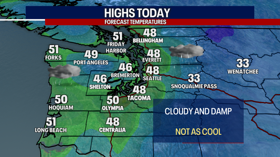
Today, you can plan on cloudy skies with high temperatures in the upper 40s to low 50s. At times, the rain could be locally heavy, dropping visibility on the roads and creating the risk for some hydroplaning.
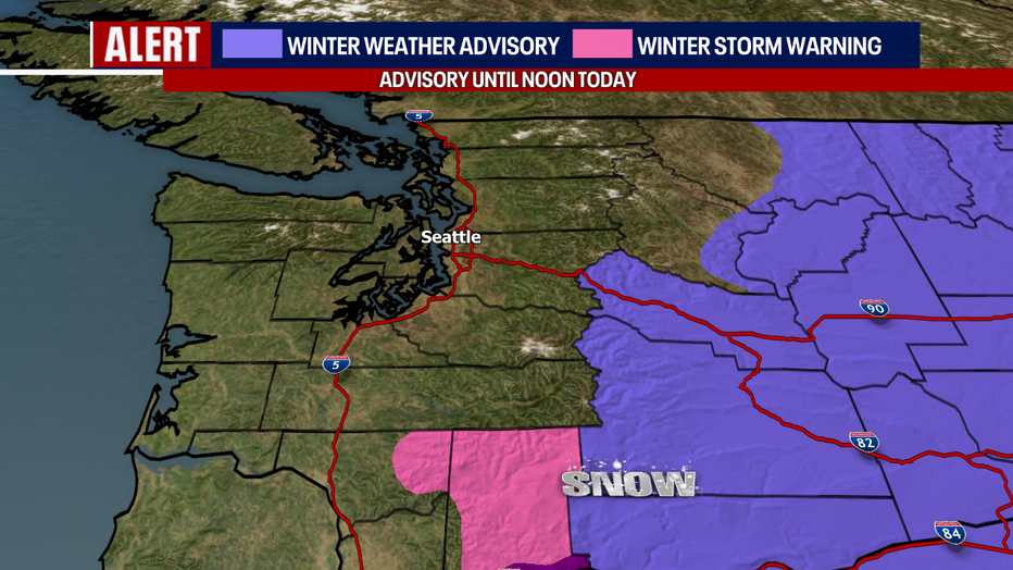
Light mountain snow is possible today. Until noon, a Winter Weather Advisory is in effect for some of the eastern slopes of the Cascades and into parts of Eastern Washington.
Tomorrow, there could be a mix of minor snow and light freezing rain for some of the mountain passes.
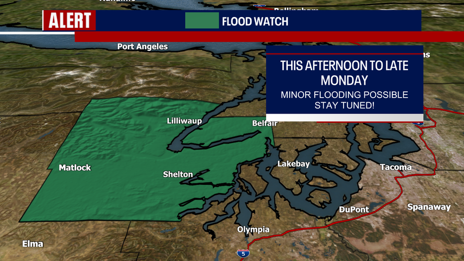
There's a Flood Watch in effect for the Skokomish River in Mason County: the alert runs from this afternoon to late Monday. Minor flooding is possible. Elsewhere, we're not forecasting river flooding this week; however, that could change next weekend or early next week. Stay tuned for more!
Another note about flooding: with warmer temperatures arriving in Whatcom County and parts of the Nooksack River mostly covered in ice, there might be some ice jam flooding along the river the next few days.
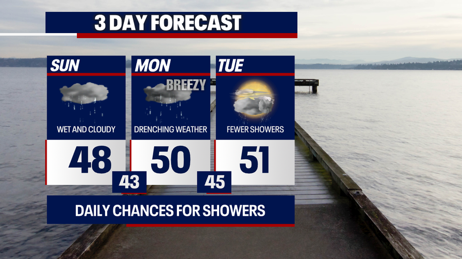
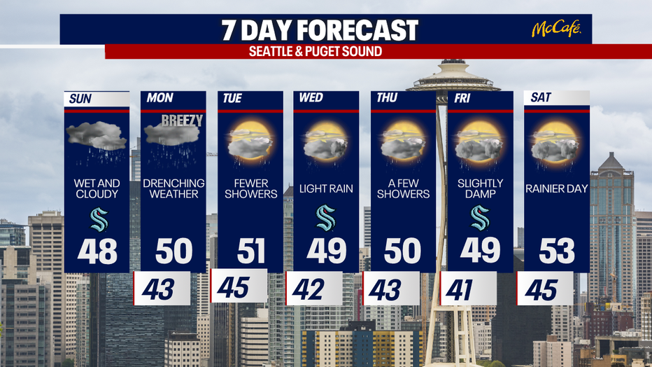
Monday will be rather waterlogged and drenching at times. Slightly breezy weather is possible. Grab the rain jacket and wear waterproof shoes if you're spending time outside.
Tuesday through Thursday, on-and-off showers are forecast. Late Friday into Saturday will be noticeably wetter.
Take good care,
Meteorologist Abby Acone
Follow me on Facebook (Meteorologist Abby Acone), Instagram @abbyaconewx, TikTok @abbyaconetv and X @abbyacone